

Cyclone Nora is forecast to intensify into a category four storm as it moves towards Cape York with heavy rain and winds gusting up to 170km/h expected.
Nora is rapidly intensifying off the Northern Territory coastline and the unpredictable system is expected to make landfall today or Sunday on Queensland's northwestern coast.
Extra police officers were rushing to remote Cape York communities yesterday while cyclone preparations are already in full swing.
Minor flooding is likely to occur from the Cape possibly down to Townsville and authorities are also warning people to beware of tidal surging as Nora approaches.
Nora is currently located about 560km northwest of Weipa and is expected to make a beeline for the peninsula's western coastline.
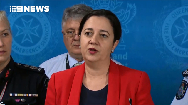
Premier Annastacia Palaszczuk said there hadn't been a cyclone cross the coast in that area of the state since 2001 but that local mayors were very well prepared.
"The message has been getting out amongst the community and we're very satisfied with the level of involvement at that local level," Ms Palaszczuk said.

"We need to reassure our fellow Queenslanders who live in some of the most remote locations in our state that we are there with them.
"We want to make sure everything that can be done has been done."
It was predicted Nora would track south parallel to the coast, but the latest forecast from the Bureau of Meteorology has it moving in a more southeasterly direction between the Gilbert River Mouth and Kowanyama.

Queensland Fire and Emergency Services Commissioner Katarina Carroll has urged residents to quickly get prepared as they only had a limited window before the weather started to affect communities.
Vulnerable patients in Kowanyama and Pormpuraaw are being evacuated to Cairns.
"These include clients such as those who are on home oxygen supplies, people on home dialysis or those dependent on medical services," Torres and Cape Hospital and Health Service interim chief Terry Mehan said.
Health services in threat areas are continuing to operate as normal.
Queensland's Disaster Management Committee met in Brisbane yesterday afternoon, and extra police and rapid response teams are being sent to the region.
The Northern Territory is also on cyclone footing, with planes on standby.
On Mornington Island the local council has arranged an extra flight this morning for people who want to leave. The island does not have a cyclone shelter.
Nora will likely be located over the southern Gulf of Carpentaria by tomorrow and a coastal crossing is possible over the weekend anywhere along the western Cape York Peninsula south of Weipa, the bureau said.
Wind speeds could escalate to between 165 and 224km/h, strong enough to cause roof and structural damage if it crosses the coast in a populated area.
Gales with gusts of up to 110km/h could develop in coastal areas between Elcho Island and Cape Shield, including Nhulunbuy, and in coastal areas between Thursday Island and Pormpuraaw.
Destructive winds with gusts to 150km/h may develop in coastal areas between Thursday Island and Pormpuraaw today if Nora takes a more easterly track than forecast.


Heavy rain is also forecast in the Torres Strait and Cape York Peninsula, extending to the Gulf country late today and into Sunday, depending on the track of the cyclone.
There's also a risk of abnormally high tides and large waves in foreshore areas.
It comes after Tropical Cyclone Marcus left Darwin battered and bruised last week.
The active system has begun to weaken as it moves well away from the mainland of Western Australia.
Meanwhile, heavy rain is set to fall on the New South Wales north coast today, causing further problems for already waterlogged communities.
As many as 500 people remain isolated by floodwaters, after days torrential rain, with those in Port Macquarie and Bellingen most affected.
© Nine Digital Pty Ltd 2018
Read Again https://www.9news.com.au/national/2018/03/23/07/50/tropical-cyclone-nora-warning-far-north-queenslandBagikan Berita Ini


0 Response to "Heavy rain and 170km/h winds to lash Queensland as category four Cyclone Nora makes landfall"
Post a Comment